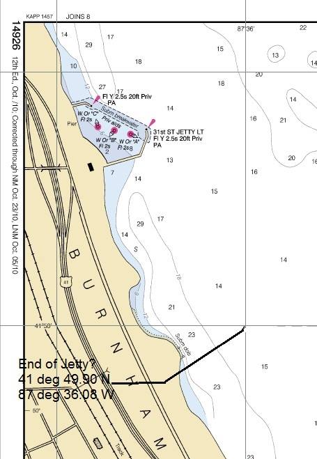
OpenCPN RNC's show nothing.
31st Street Harbor in Chicago does not show up
on the NOAA charts downloaded in June 2014?
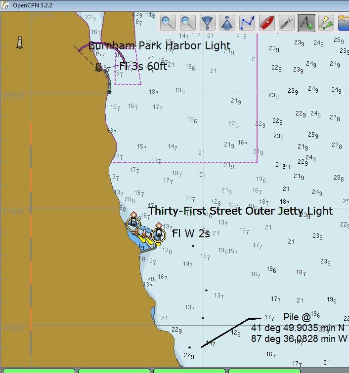
Open CPN ENC's show pilings that
kind of outline where the breakwater is located.
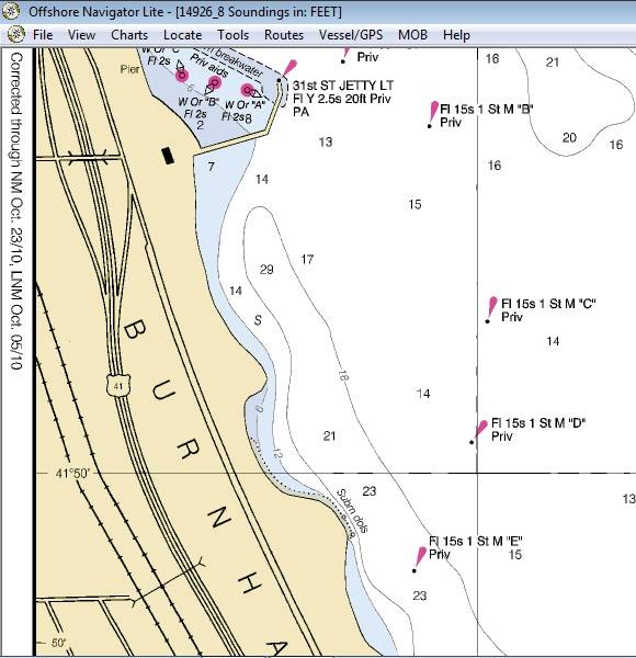
Maptech's Offshore Navigator Lite shows lights on the the breakwater.
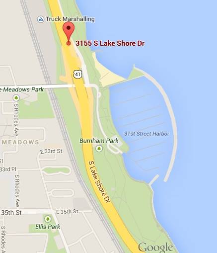
Google Maps shows the breakwater in place.
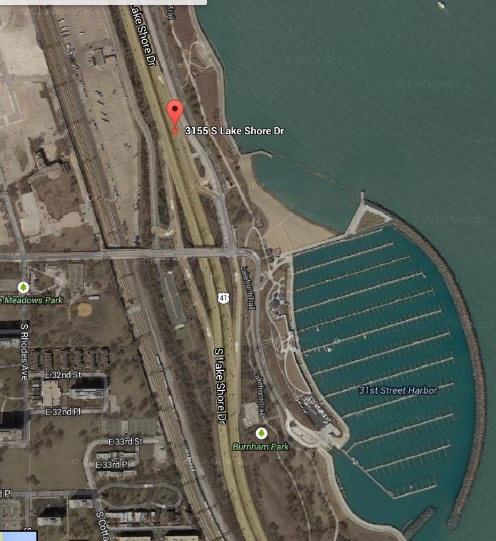
Google Satellite even shows every slip in place.
Is NOAA failing us?
There are some long walks to the boats